Repeated from
//summitpost.org/bomber-peak/425343.
This brief summary is based on the version in Michael Kelsey's 1989 book
Climbing and Exploring Utah's Mt. Timpanogos.
On March 9, 1955, an Air Force B-25 on its way from Great Falls, Montana to
March Air Force Base in Riverside, California, passed over Salt Lake City after
having made a fuel stop at Hill Air Force Base near Ogden. It carried five
people, including two civilians. During a storm that had that day deposited more
than a foot of snow in the Wasatch Mountains, the WWII bomber made radio contact
just after dark and then went out of radar sight and was not heard from again.
The next morning, during a break in the storm, 18 search planes were sent to
look for it and for another plane that was later found to have crashed in the
Uinta mountains. The wreckage of the B-25 was first spotted from the air that
afternoon not far below Bomber Peak. It is, I think, unknown what caused the
aircraft to veer off course and crash.
Rescue attempts (or rather, body recovery attempts, as all aboard were instantly
and gruesomely killed) were made repeatedly throughout the next few days, but
weather and avalanche conditions prevented any members of official search
parties from reaching the crash site until late March 12, and no bodies were
recovered until March 15. Four were recovered that day, but the fifth was not
reported to have been recovered until May 30. Meanwhile, the first people to
have seen the crash site were not members of official search parties, but were
local hikers who on March 11, climbed up and over the Bomber Peak ridge from
Grove Creek, while American Fork Canyon was blocked to traffic by the Forest
Service, which had been persuaded by the Air Force to close the area to the
public until the last body had been found.
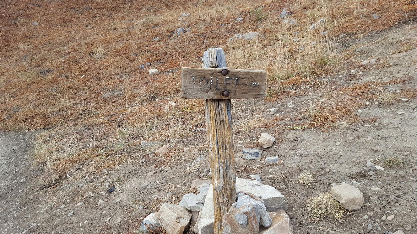
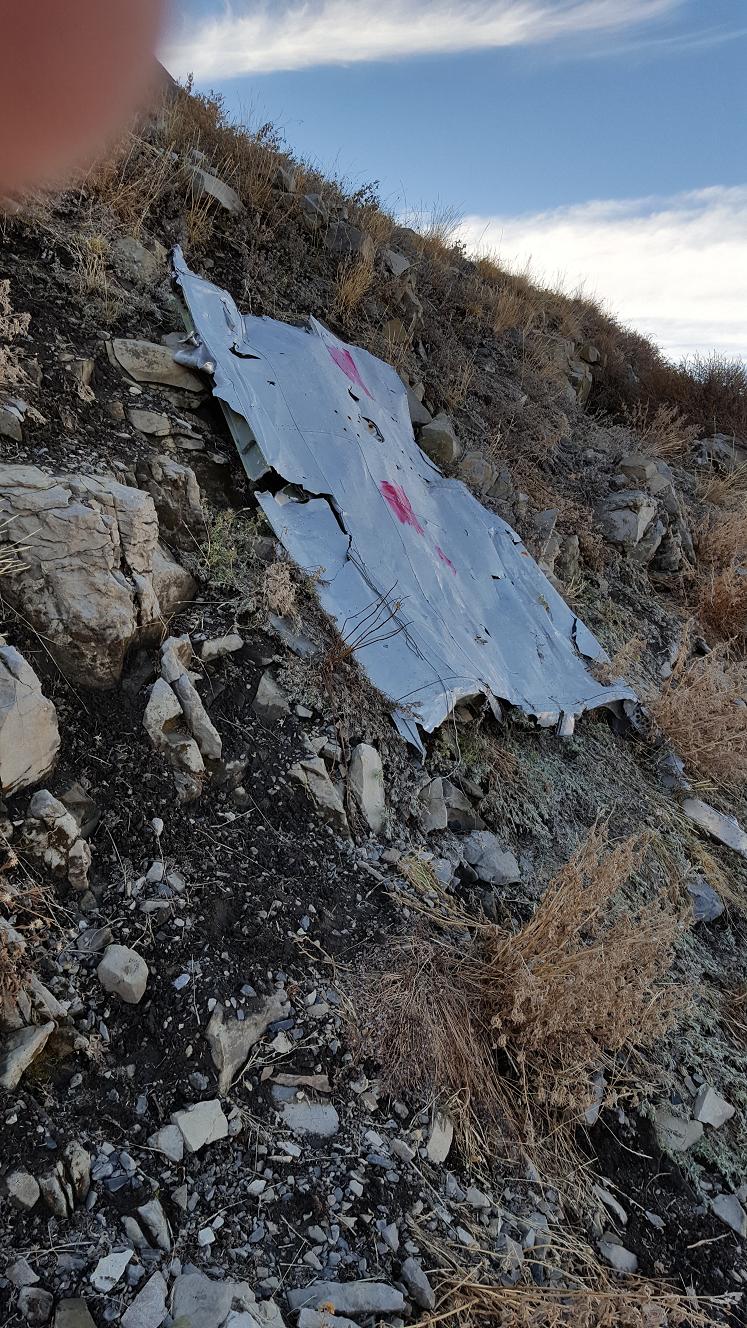
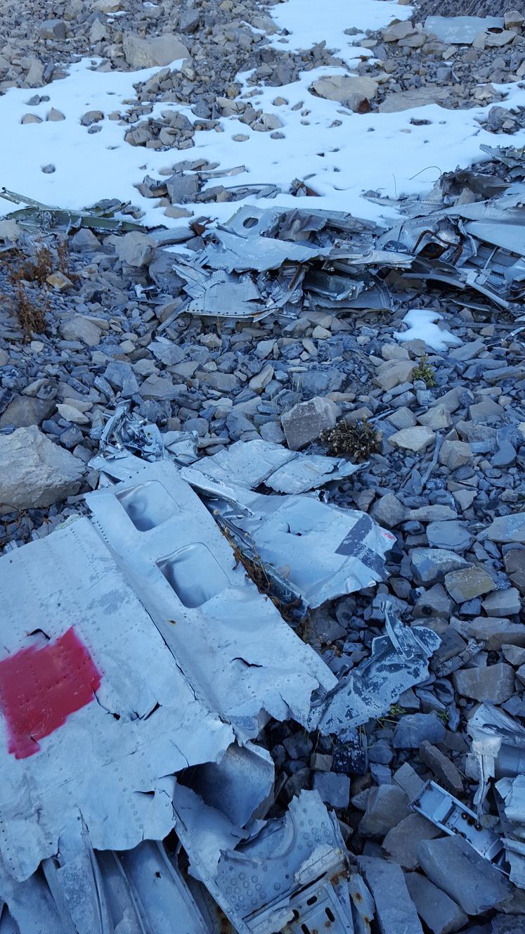
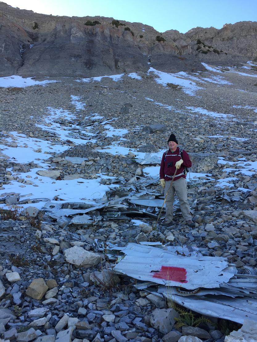
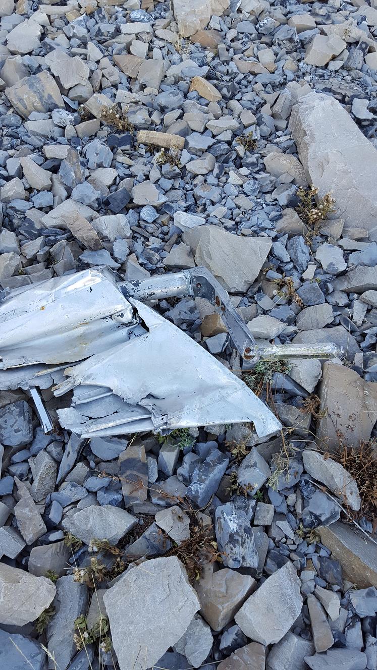
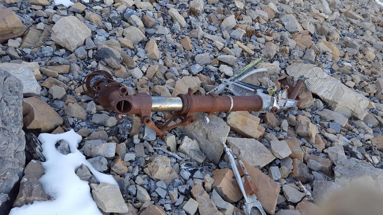
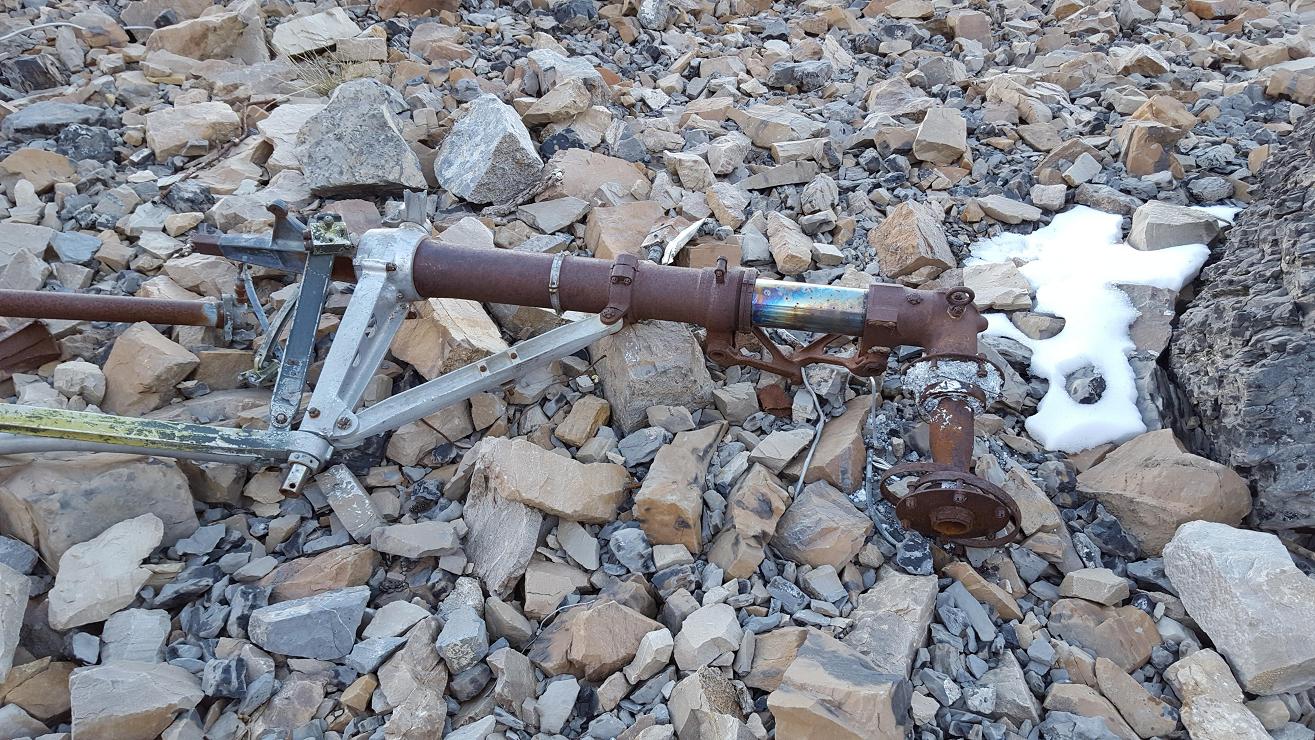
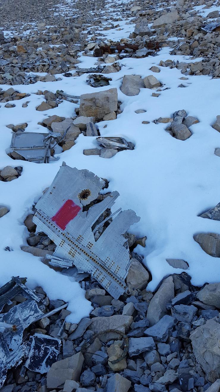
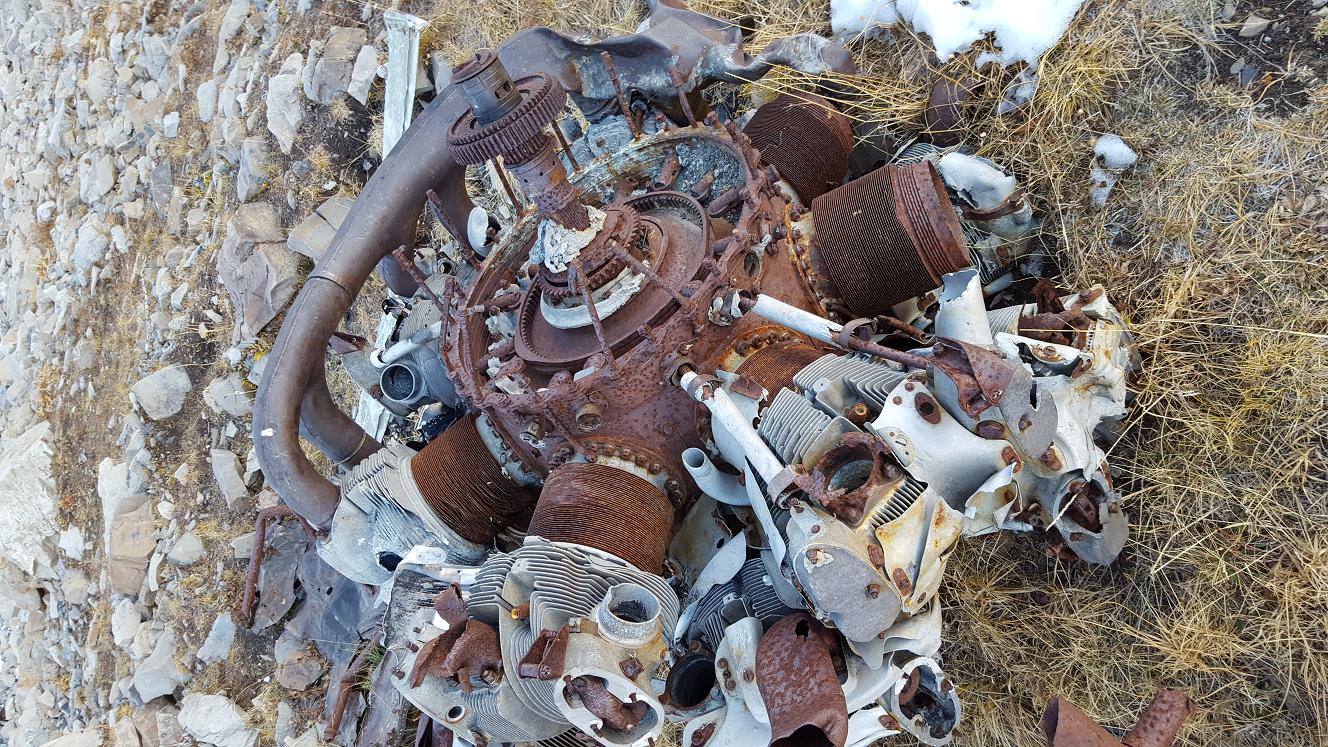
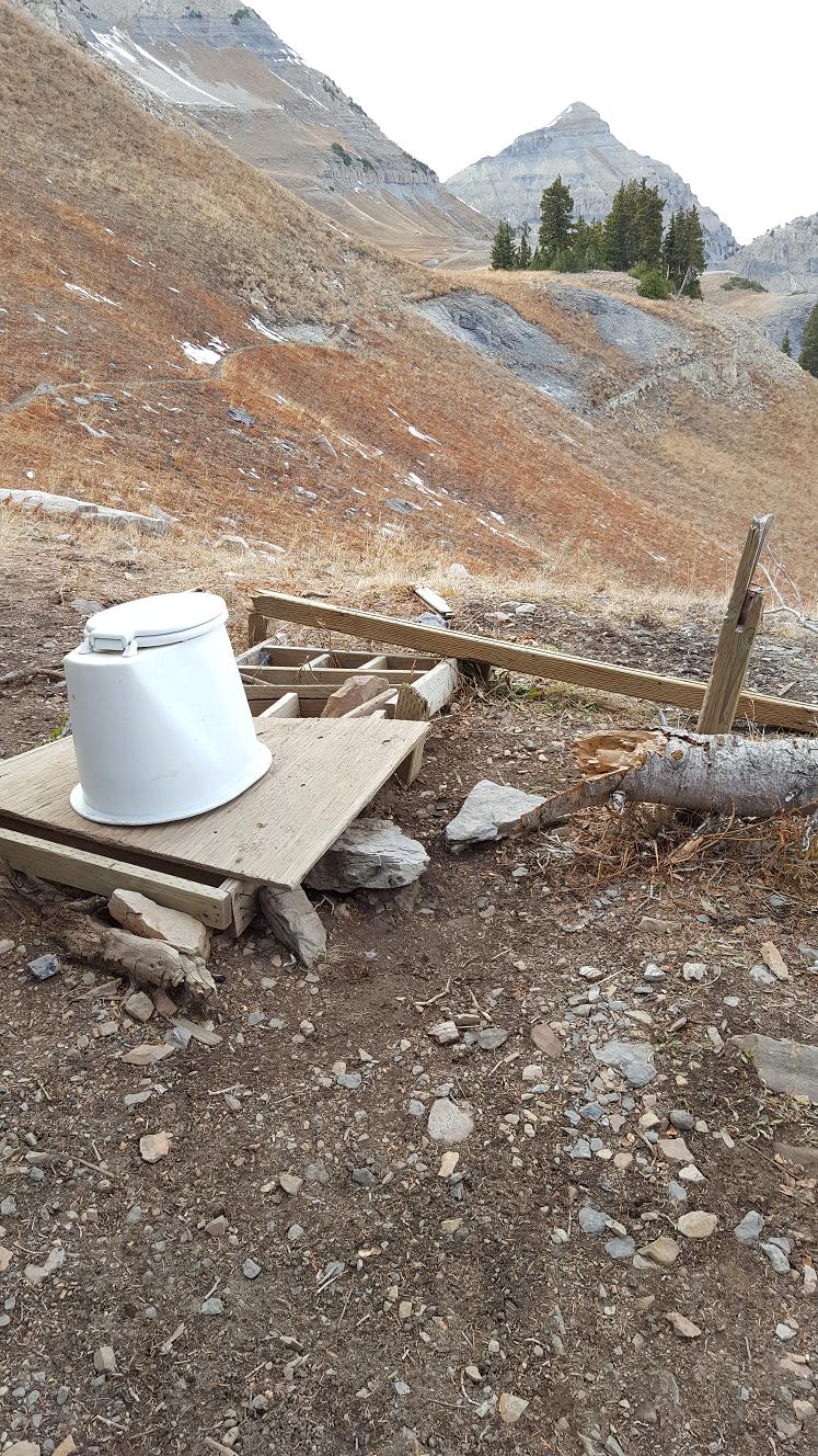
The wreckage still exists and is frequently visited as a side-trip from the
Timpooneke Trail where a signed fork leads to a toilet upon arrival in Timp
Basin above the Giant Staircase. That toilet is almost as much of a mess as
the B-25.
[
//climb-utah.com/WM/timp.htm]
[
//gendisasters.com/utah/15383/mt-timpanogos-ut-bomber-found-mar-1955]
Crew: pilot Major Daniel C. Holley, 33,
co-pilot 1st Lieutenant Howard. E. St. John jr., 25,
engineer Airman 1st Class Doyle. H. Dempsey, 22,
engineer civilian crew chief Maurice. J. McNalty, 30,
engineer civilian Donald R. Cubbage, 45.
After hearing about a crash site, this is the research I found.
[
//climb-utah.com/WM/timp.htm]
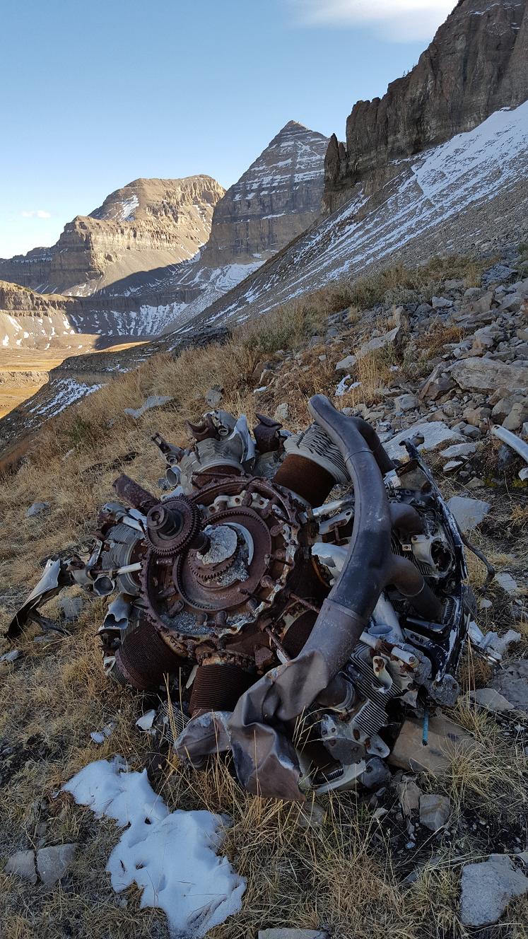
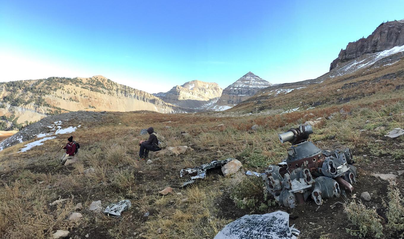
B-25 Crash Site:
The trail to the B-25 Crash site leaves the main Timpooneke trail at the lip of
Timpanogos Basin. From the lip of Timpanogos Basin you will encounter a trail
which is signed toilet and leads to the right, this is also the trail to the
B-25 Crash Site. Follow the trail north 1/2 mile as it contours around a hill
and than follows a small stream to two ponds. The trail disappears as it
approaches the ponds. From the ponds the B-25 wreckage is located 1/ 2 mile
west-northwest at the base of the scree field at an elevation of 10,800'. The
easiest way to locate the wreckage is to climb west up two terraces to the base
of the scree. Follow the base of the scree north and you will walk into the
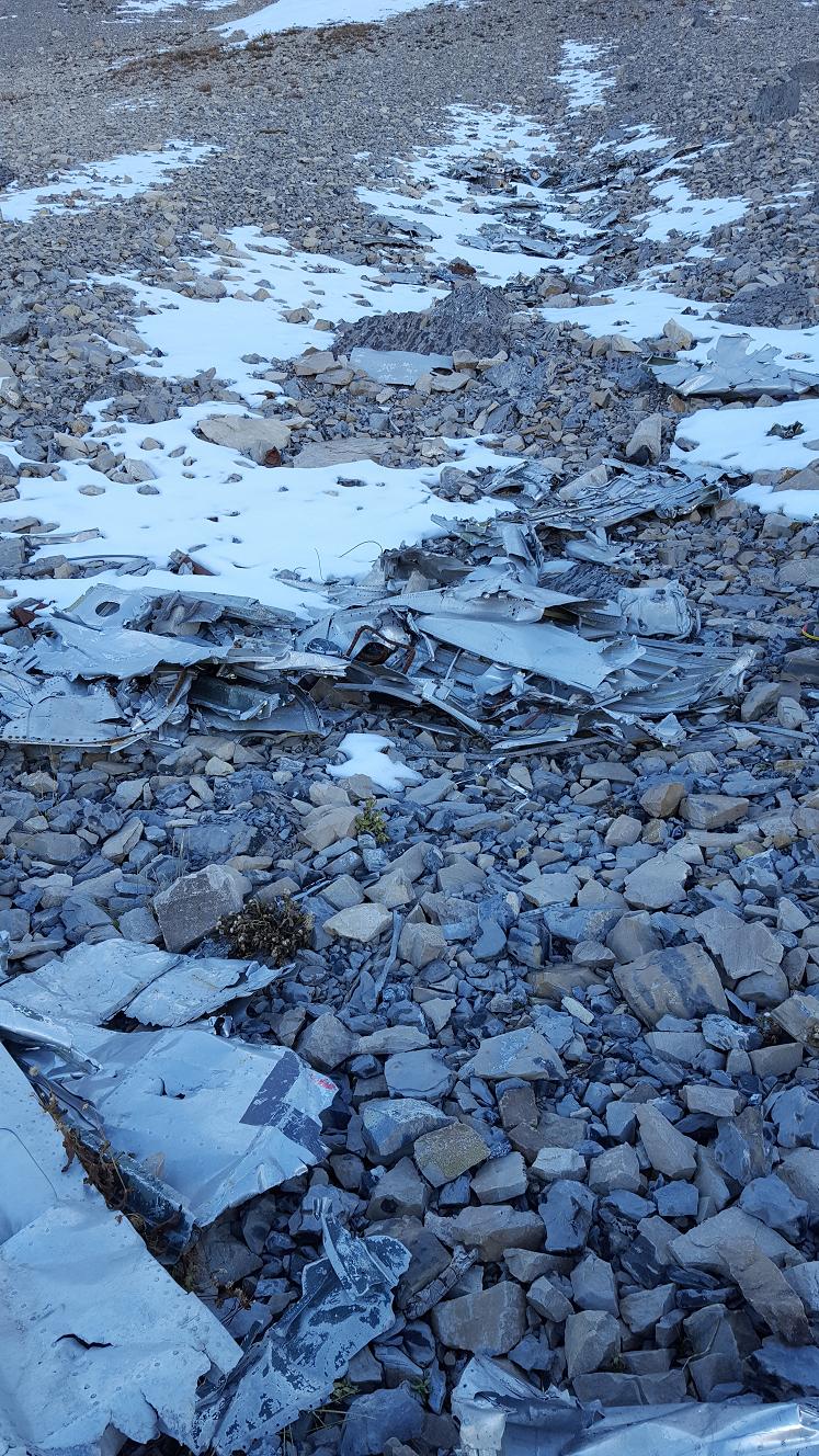
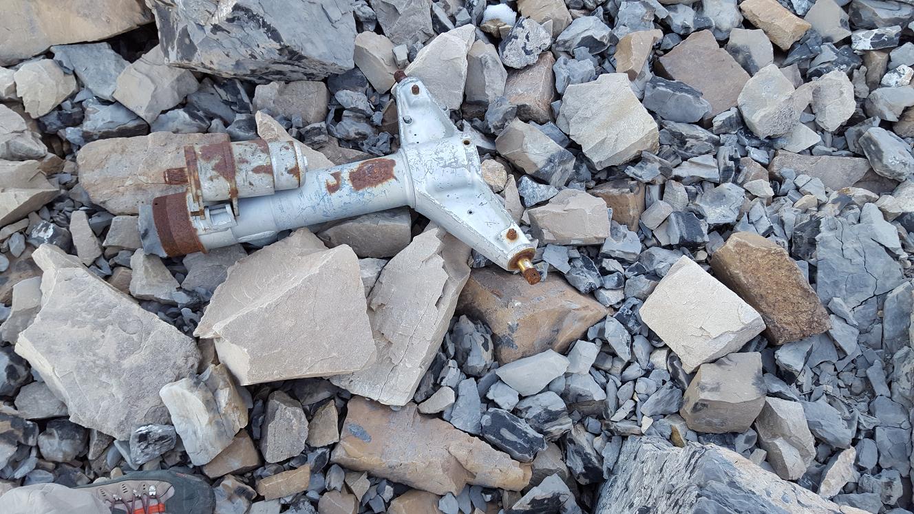
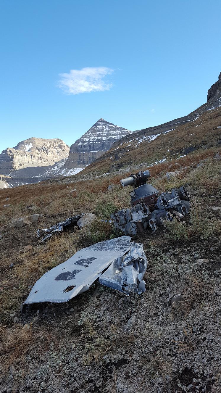
middle of the wreckage. Debris from the wreckage is scattered from the base of
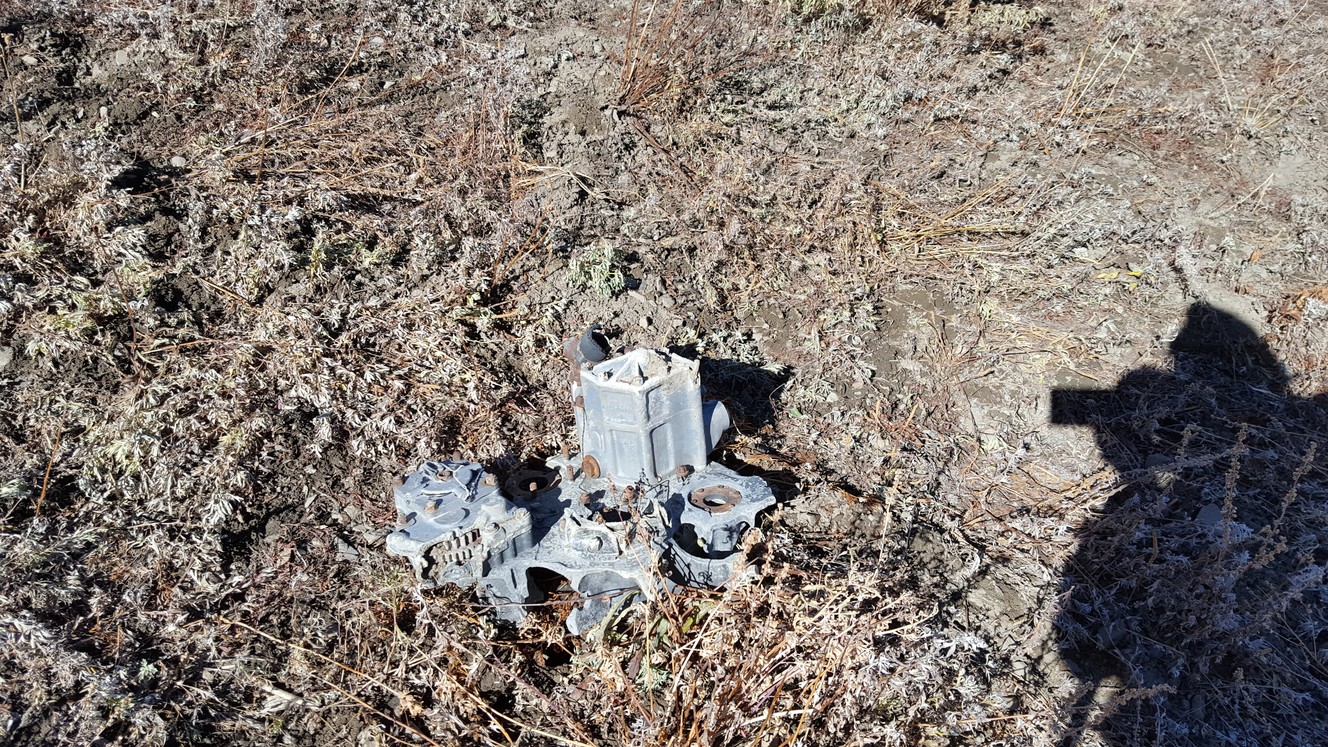
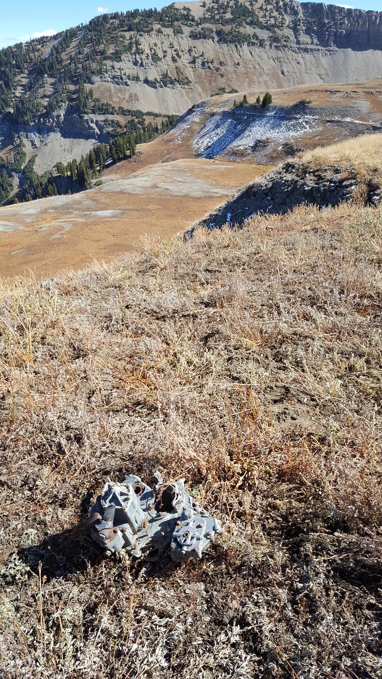
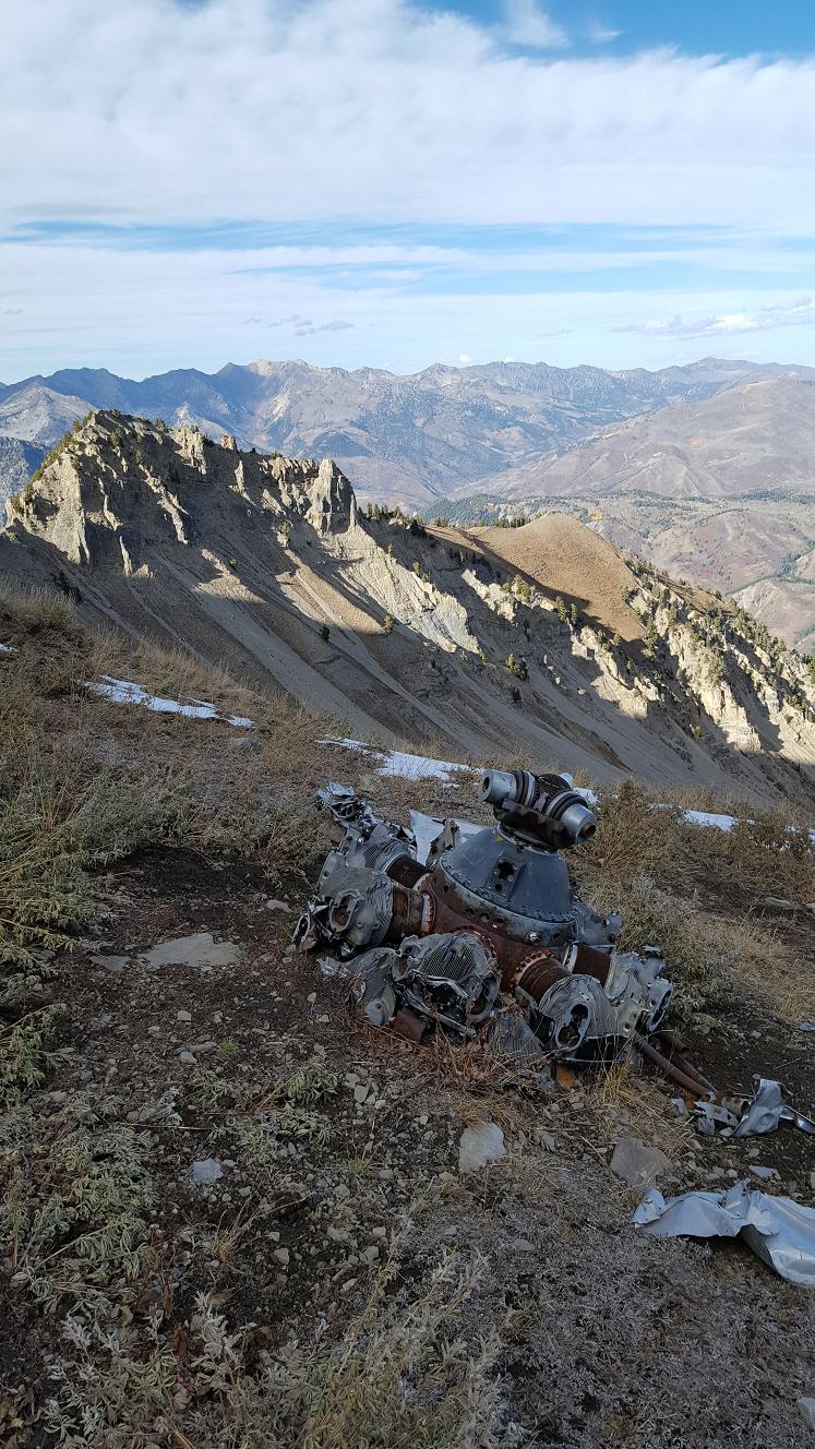
the scree, across the first terrace and down to the second terrace. The large
radial motors are very easy to locate, one moter is located on the upper terrace
(N40° 24' 25", W111° 39' 23") and one is located on the lower terrace
(N40° 24' 26", W111° 39' 19").
Map-1
It is possible to contour south along the terrace, which the crash site is on,
and intersect the Timpooneke trail as it approaches the Timp Saddle. If you are
heading to the summit the detour to the crash site will add one hour to your trek.
[
//summitpost.org/mount-timpanogos-middle-summit/544076]
[40.40731 degrees latitude, -111.65467 degrees longitude]
[
//atomicadam.com/O_Timpanogos2010.html]
Map-2
[
YouTube 2015]
[
Map-3] I cannot find the link where I first found this
map. But search "timp bomber crash hike", and review Images of Timp bomber.
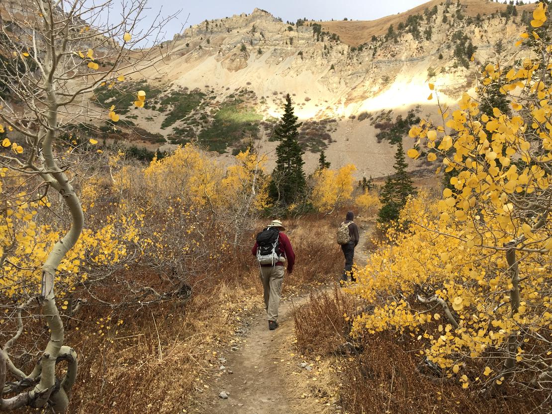
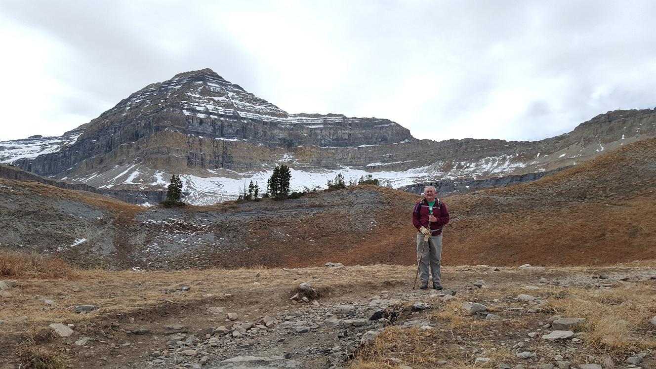
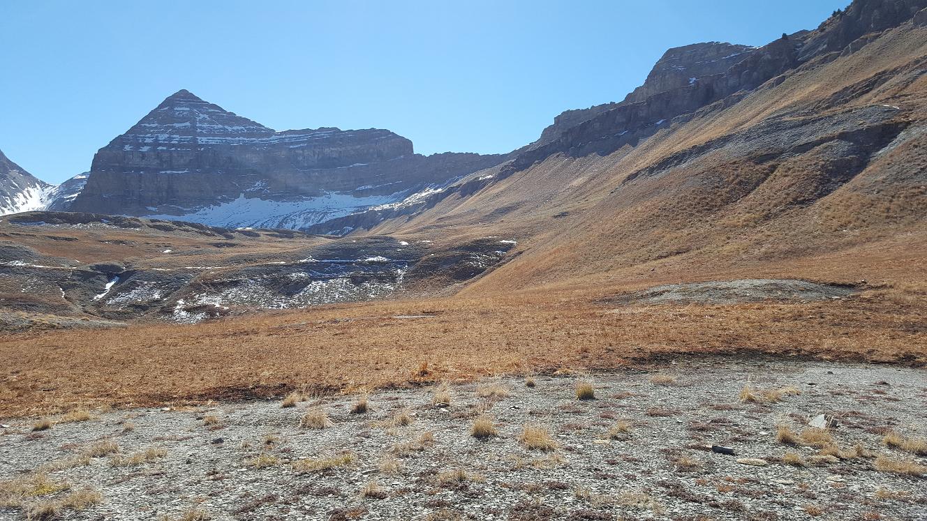
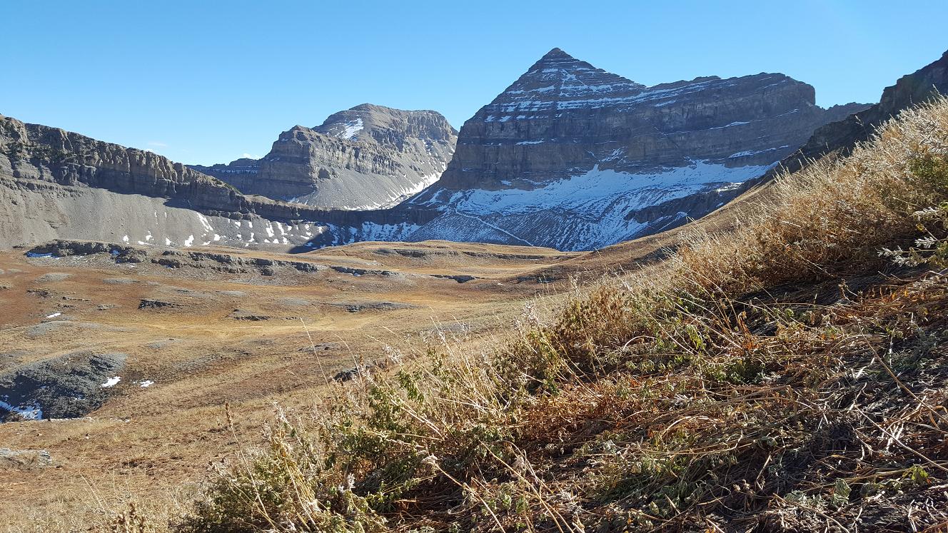
Now for our hike
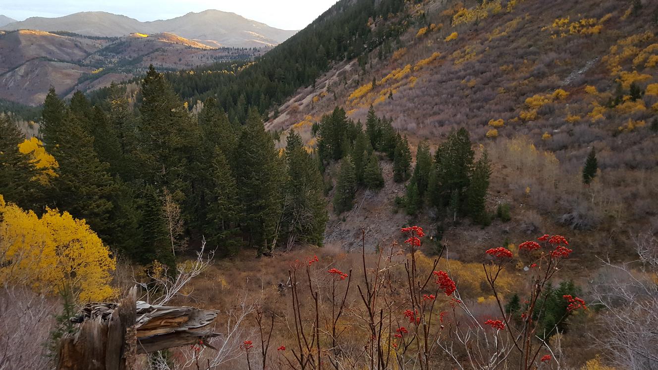
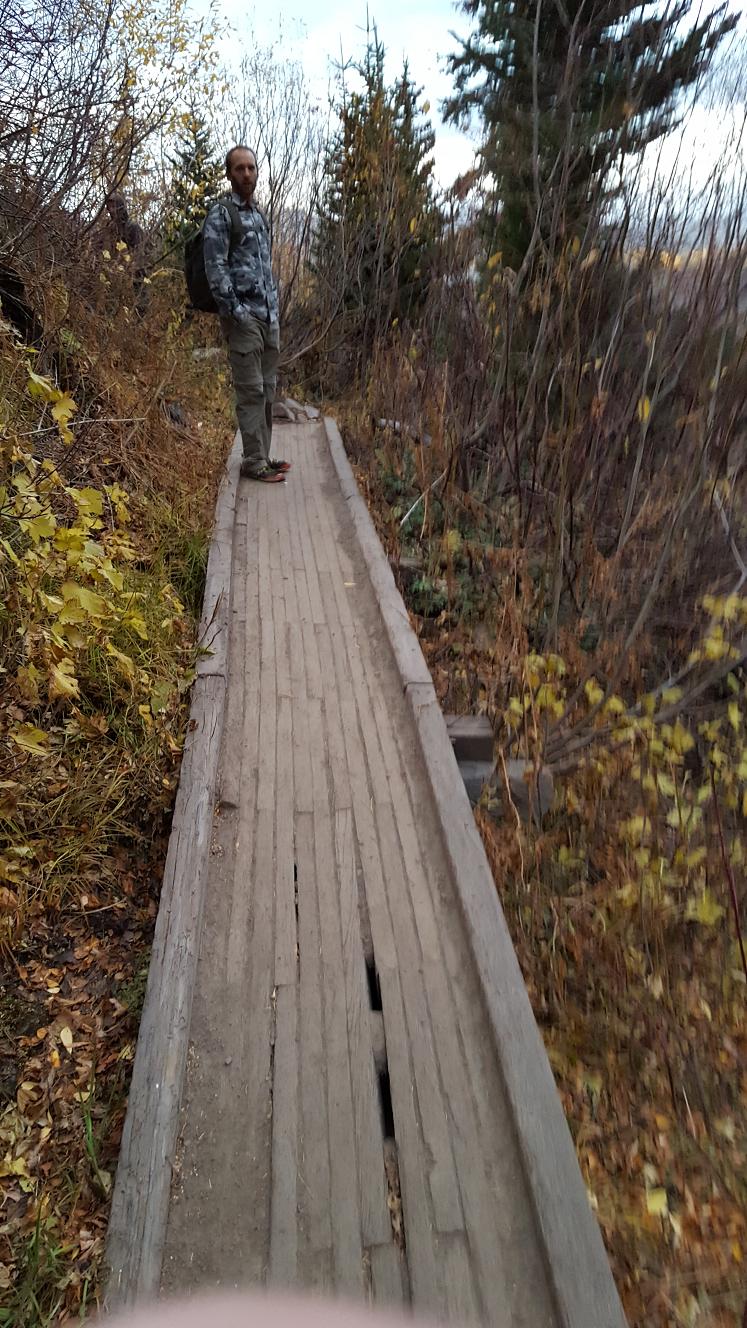
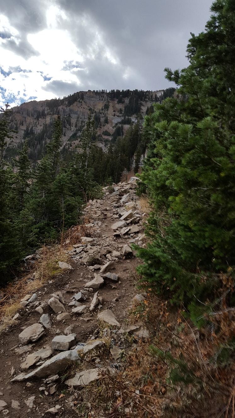
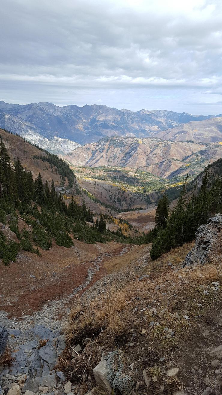
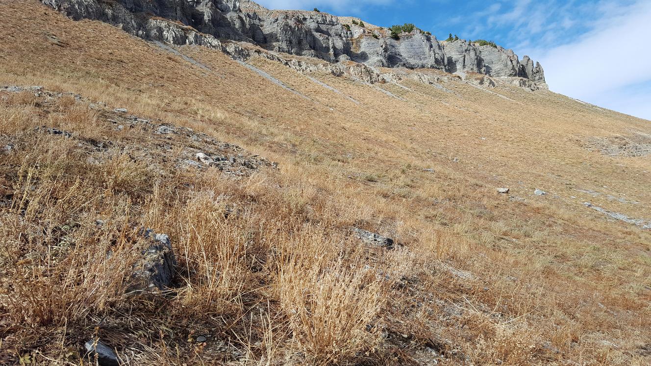
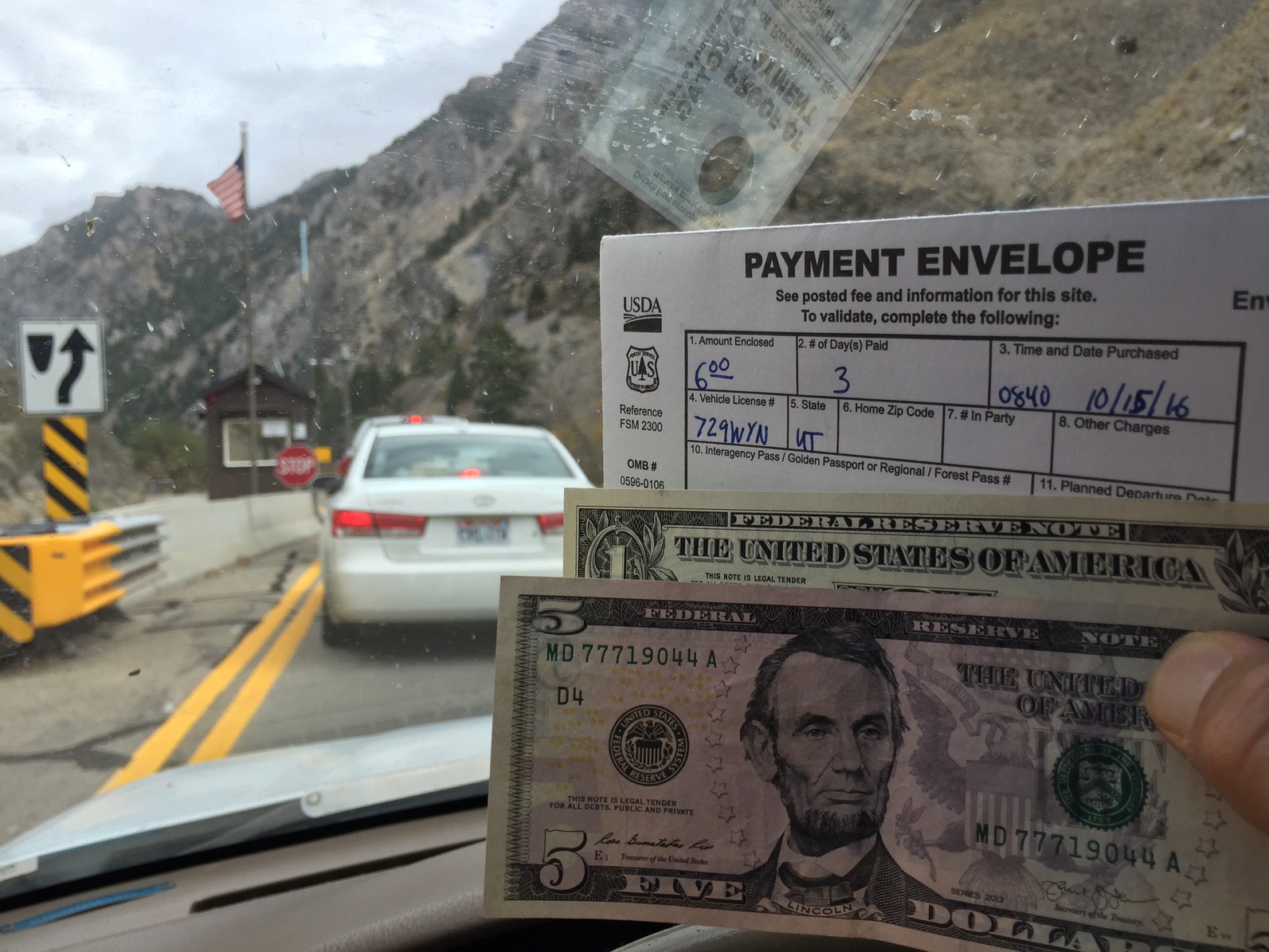
We left Orem around 6:15 am, drove up American Fork Canyon to the Timpooneke
campground and Timpooneke Trail head, where we started the hike about 7:10 am.
Using a copy of Map-1 as
Map-4
I can specify some locations,
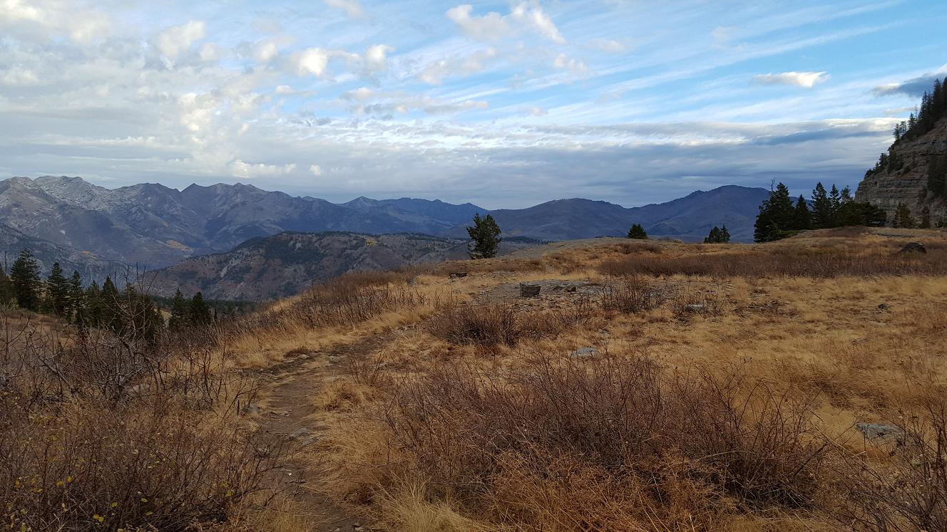
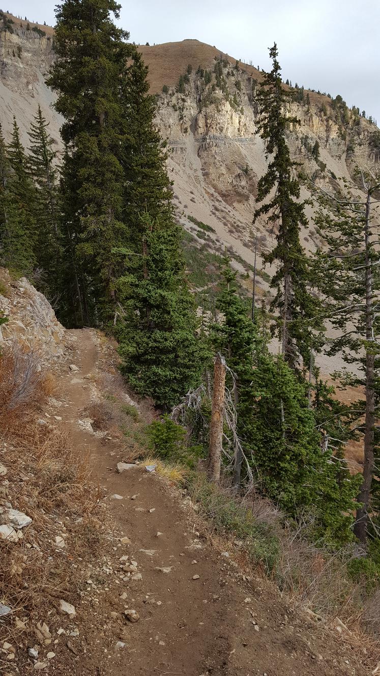
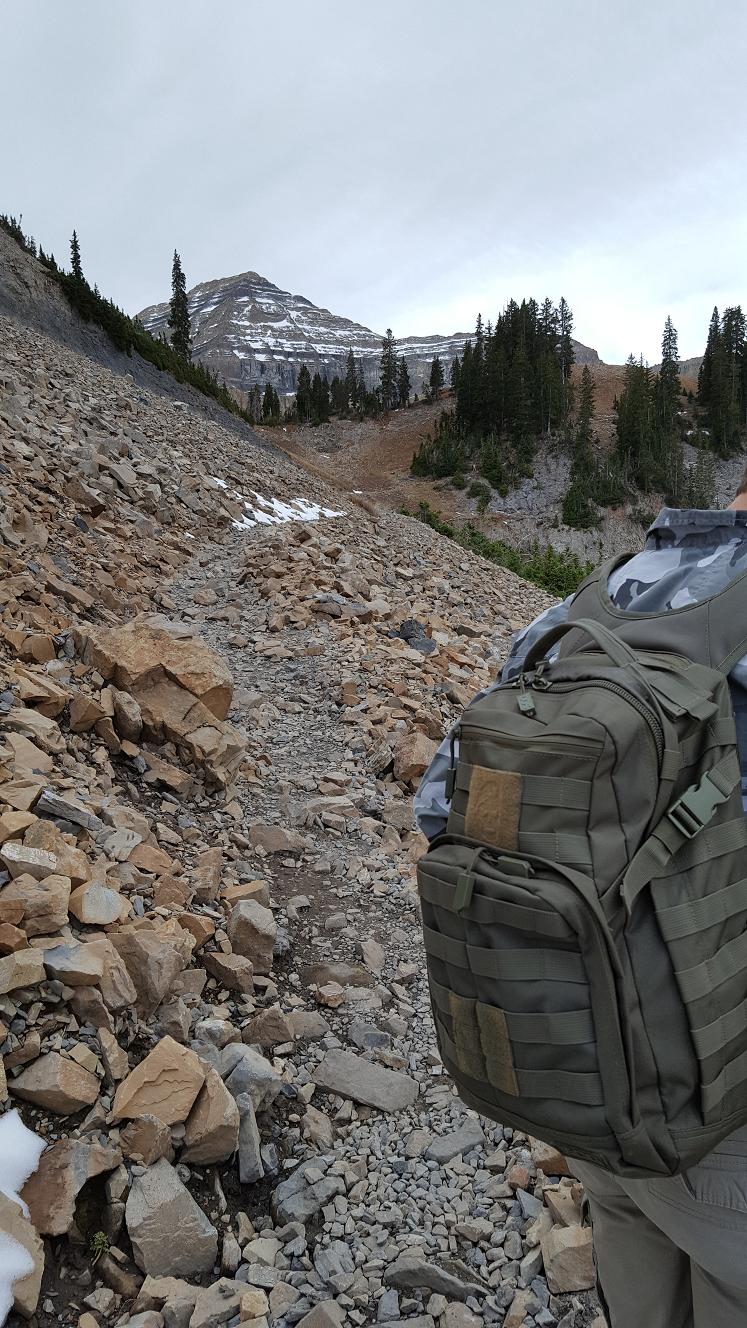
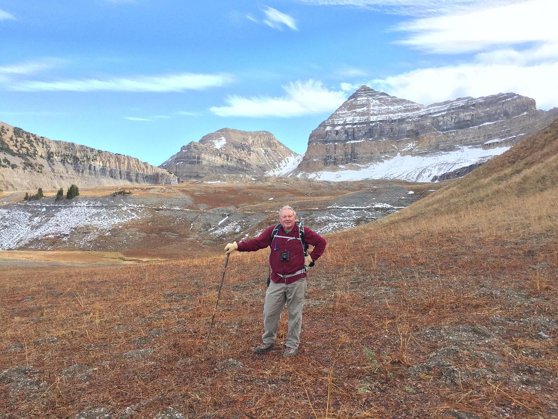
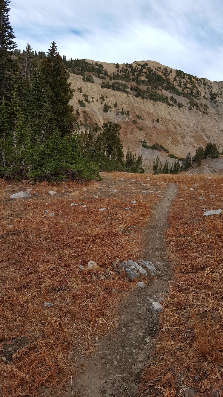
using blue lettered arrows. We stopped for lunch about 11:30 am where the trail
forks to either Emerald Lake or the top [B]. The day was cloudy - no Sun - and
lots of wind; which left us cold. This is not far past the "Toilet" signpost [A],
picture E3.
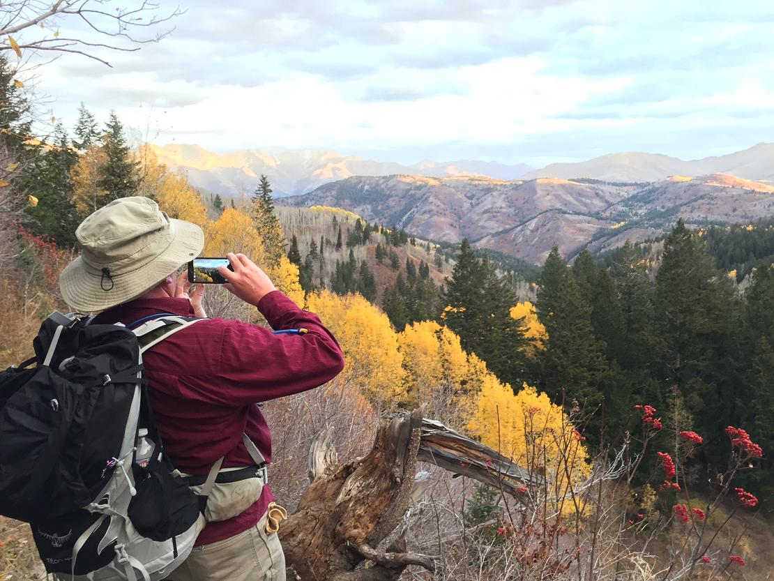
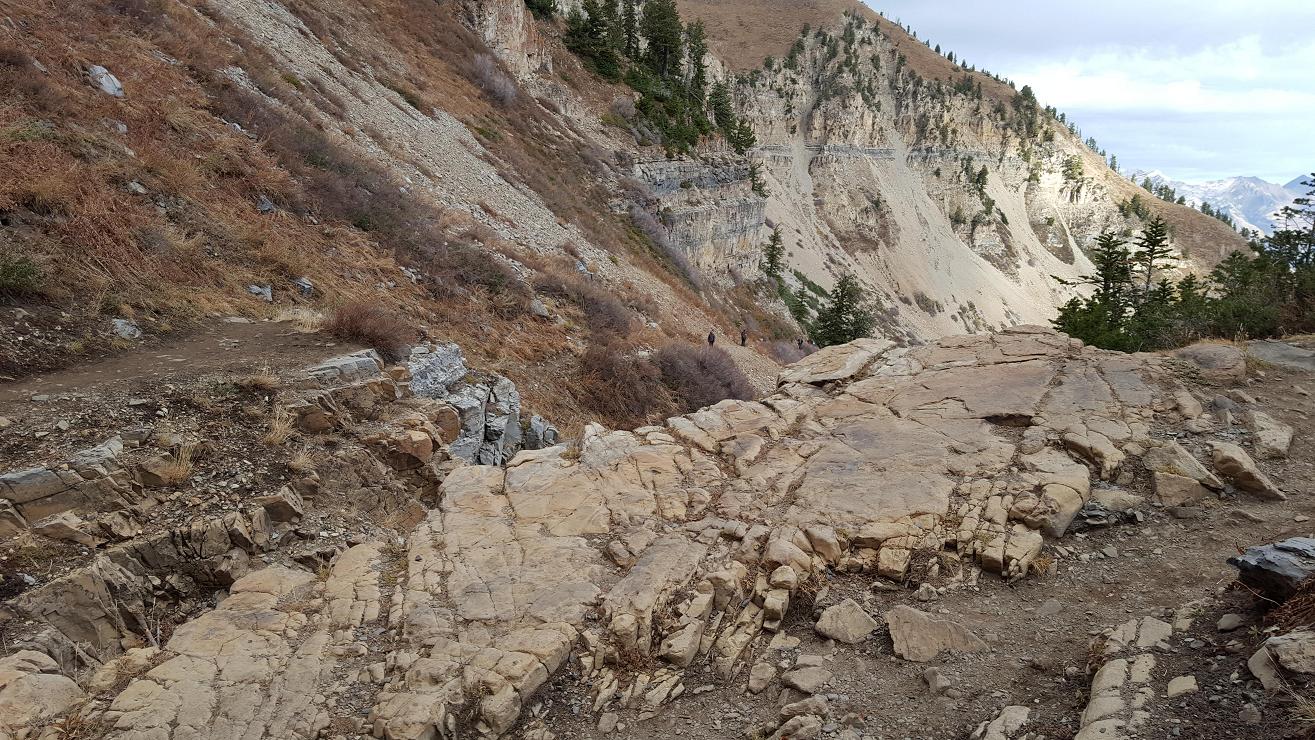
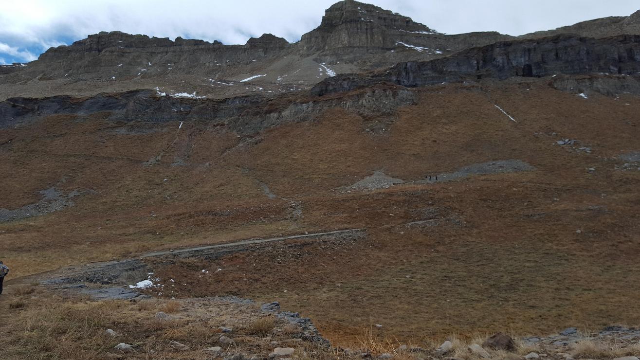
About 12:30 pm, the clouds finally parted, Sun came out and wind stopped,
at the first switch-back to the Saddle [C], Richard and Jaren left
their packs to "book-it" (go fast) to the top, pictures E4–F2. Alone,
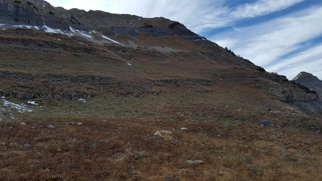
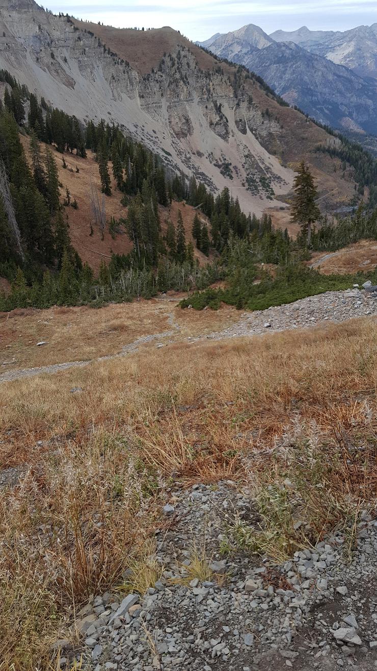
I hiked somewhat similar to the blue-line path, searching for the crash site.
We forgot to review or take along any of these maps or GPS locations. So I was
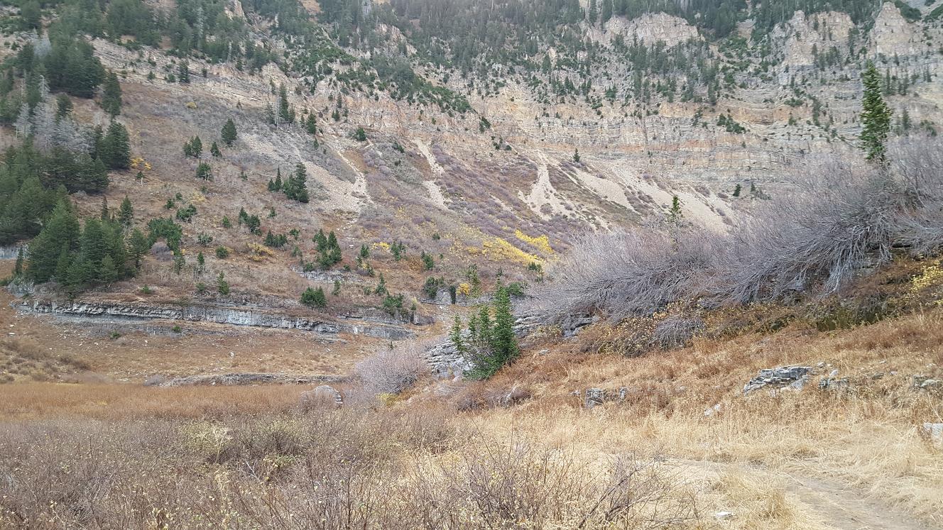
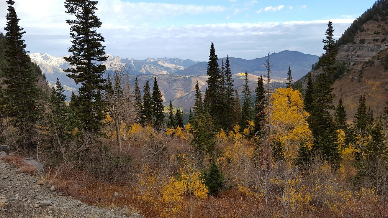
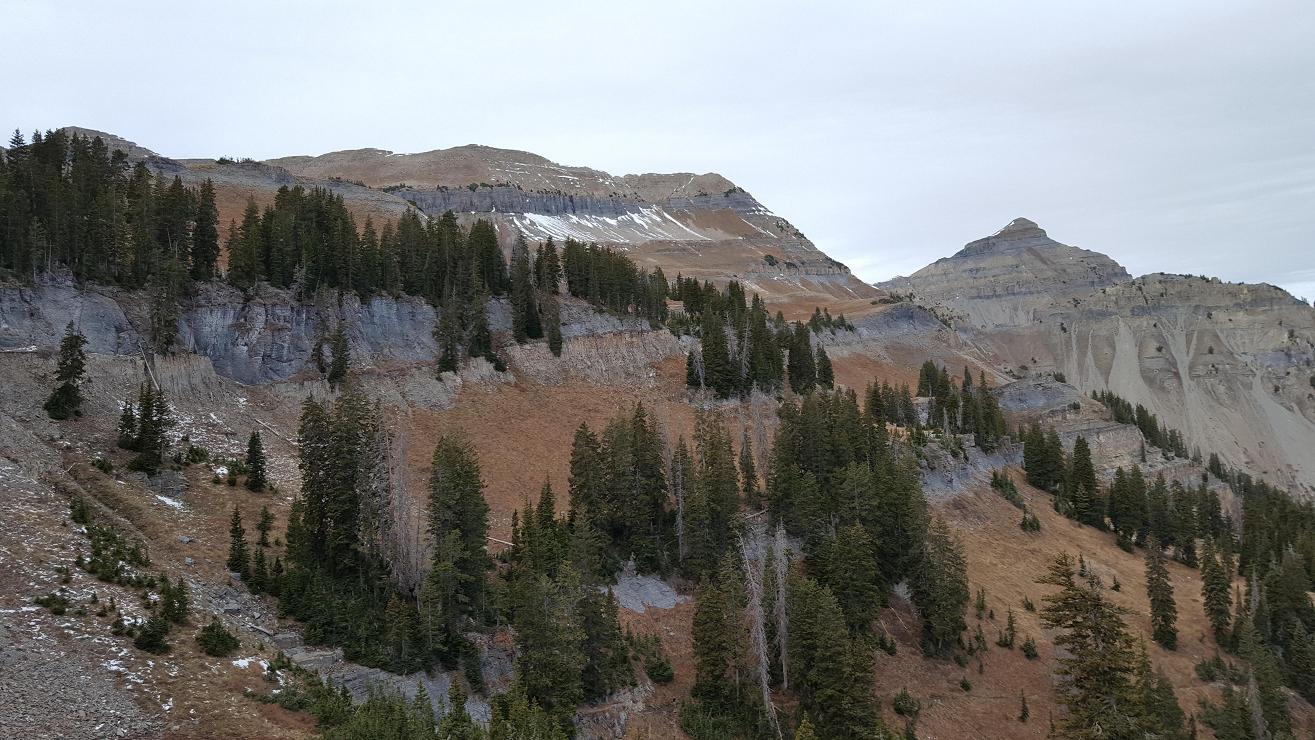
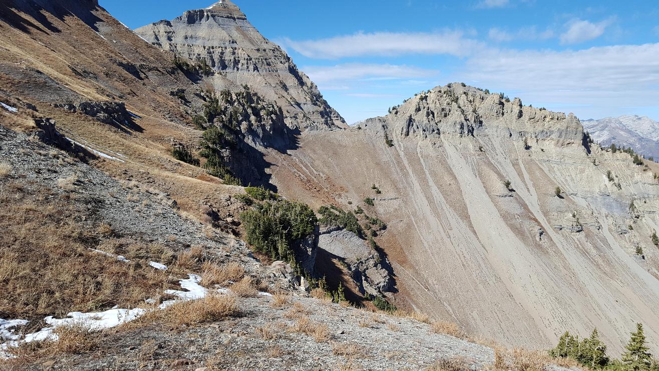
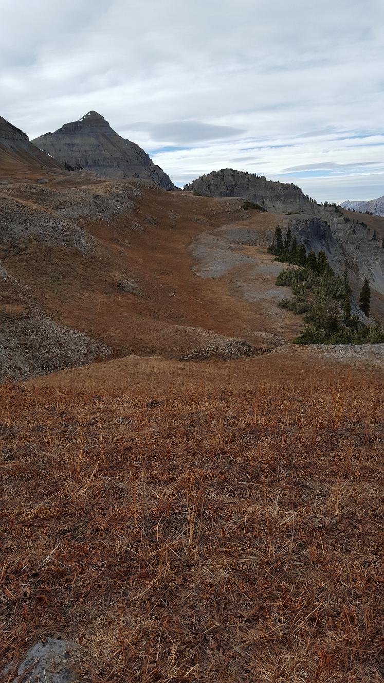
searching by memory. We kept in contact via ham radios. Picture F1 shows an upper
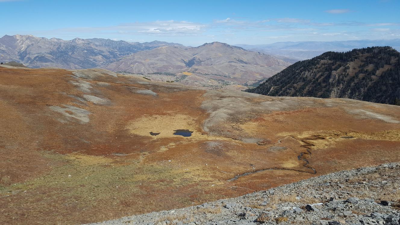
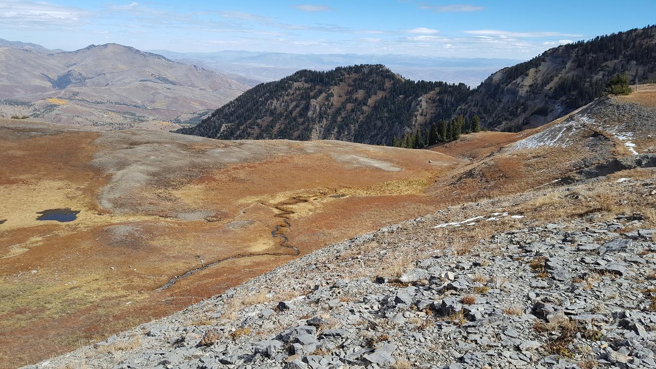
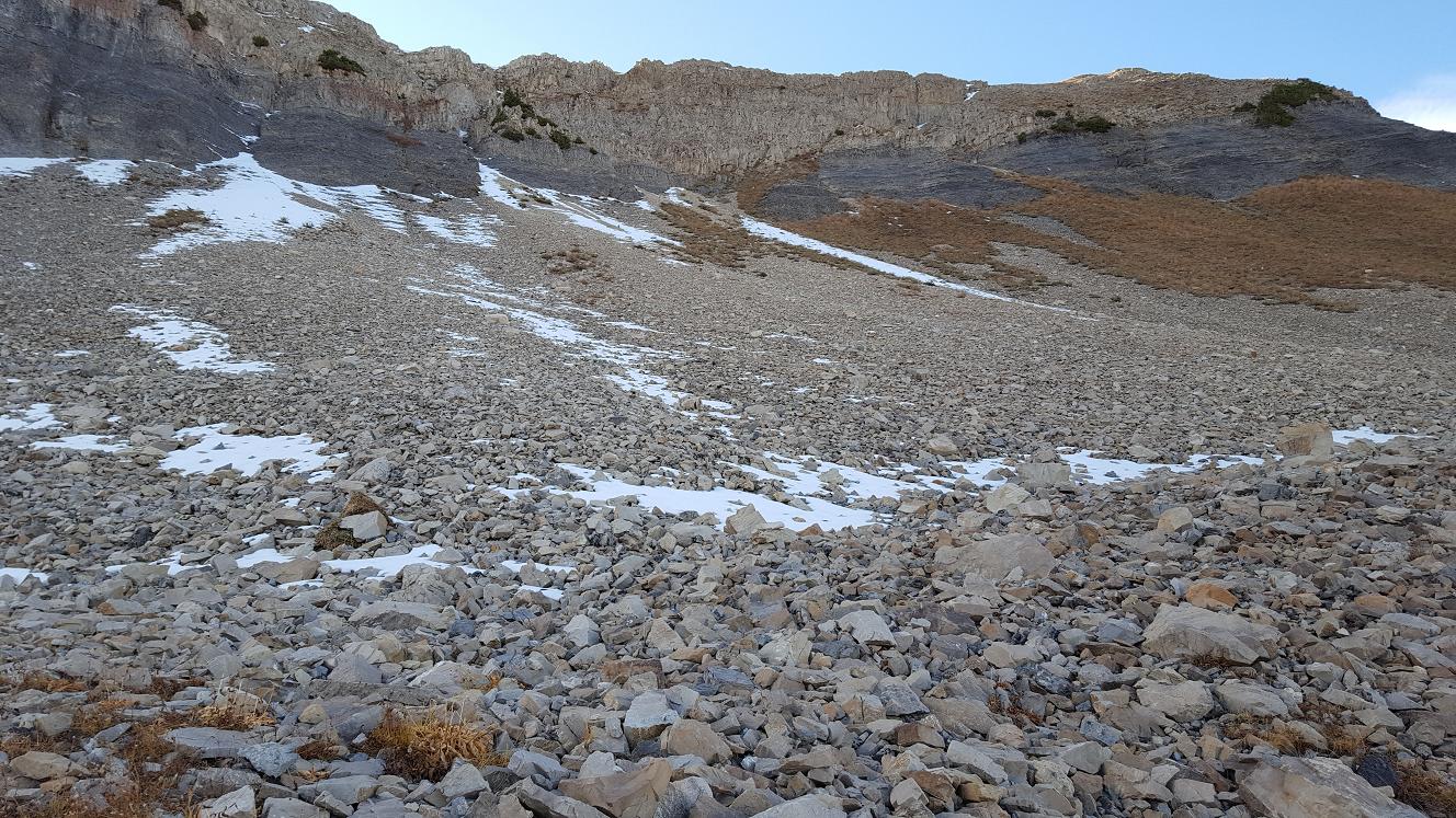
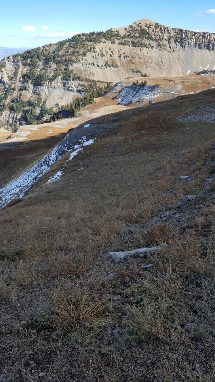
tier on the left, and parts of the lower hidden tier in middle and right.
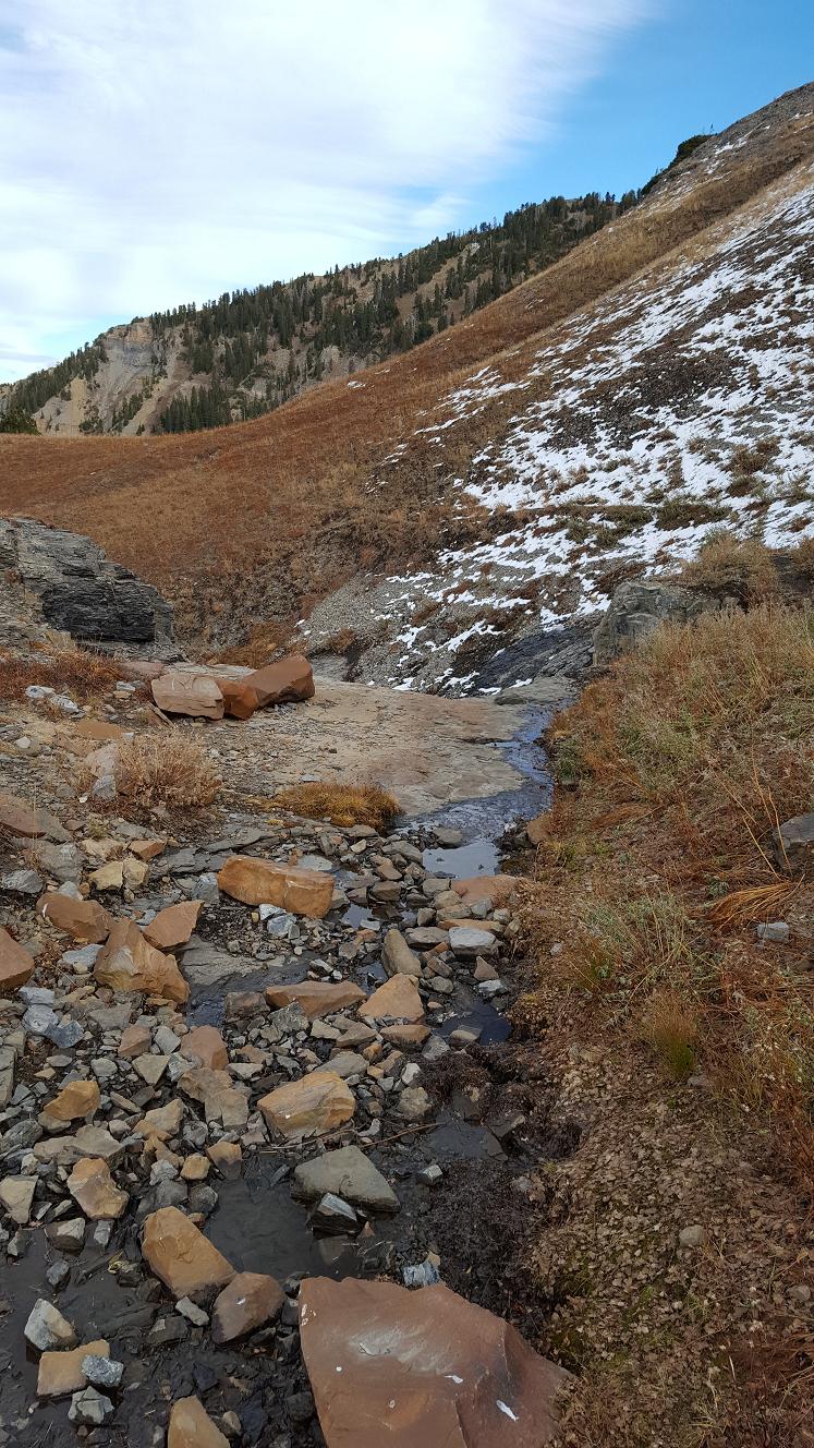
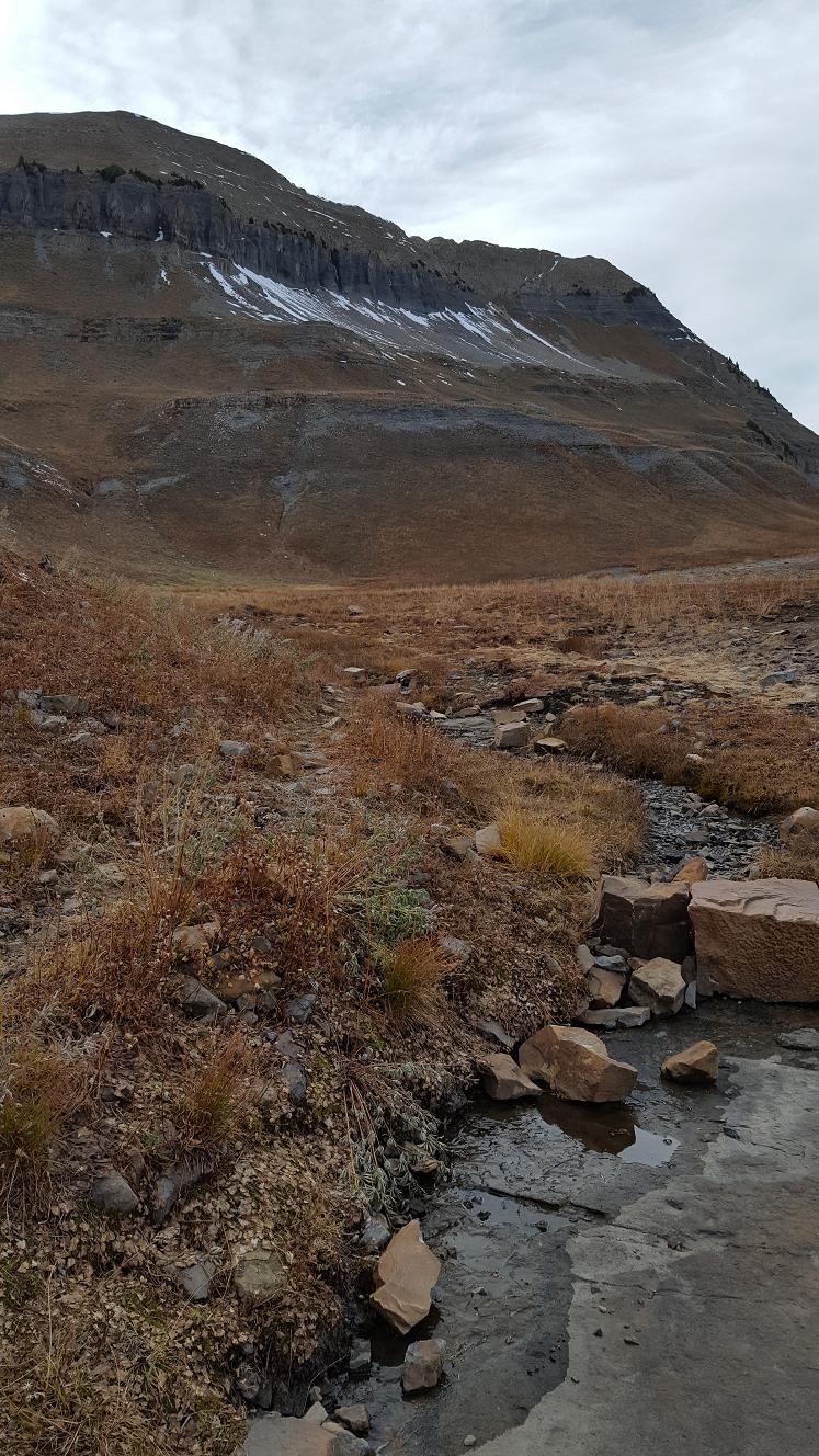
F5–F6 are looking down at the stream and ponds on the lower tier.
F6 on the right you can see pine trees lined up on the far side of "Toilet pass",
which is where the trail from the Toilet signpost comes over. Pictures G1–H3
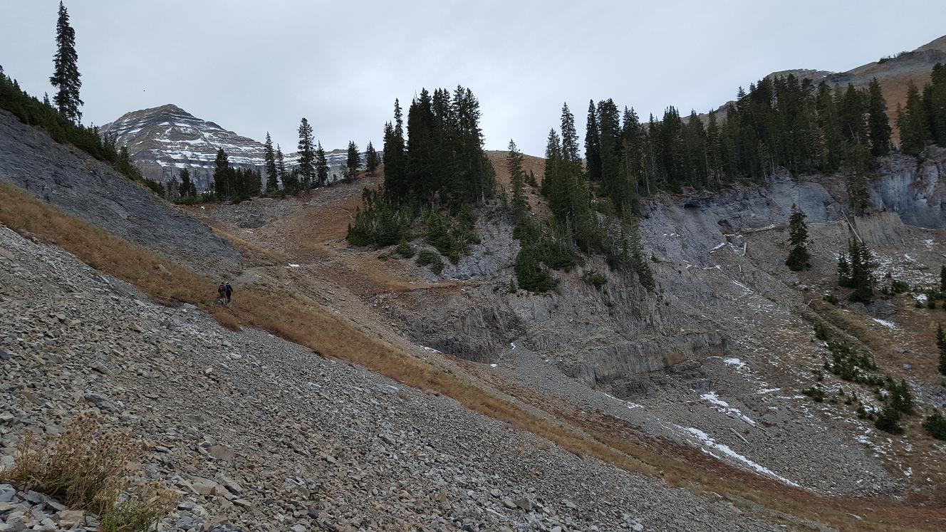
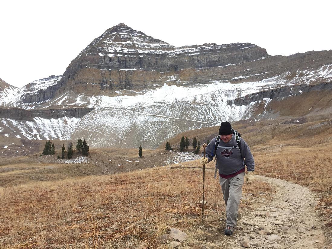
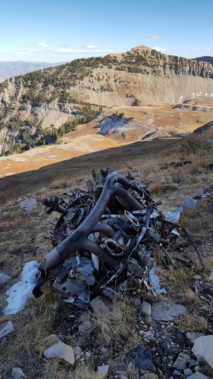
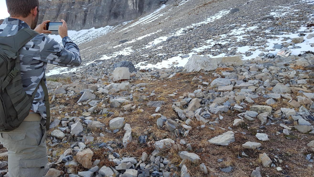
are from my wanderings along the blueline path, and finally finding a plane part. At which
time I was filled with Joy and excitement, since spending a couple hours on my
own and seeing nothing. That's when Richard made radio contact to tell me they
were on their way back to me. So I backtracked to meet them.
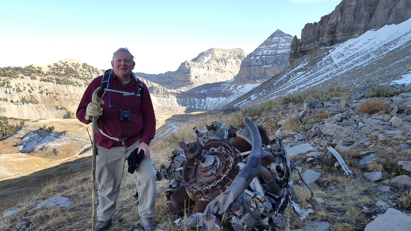
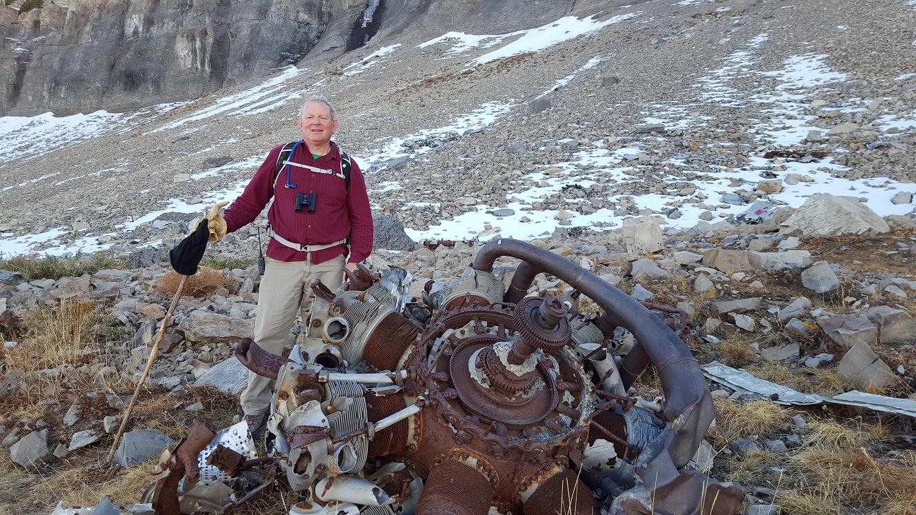
Around 2:30 pm they rejoined me on my "backtrack" [E]. While at the Saddle,
Richard, being the wise guy that he is :), retrieved the GPS location with his
phone. Using GPS, we sent Jaren ahead of us to locate the site, and we followed,
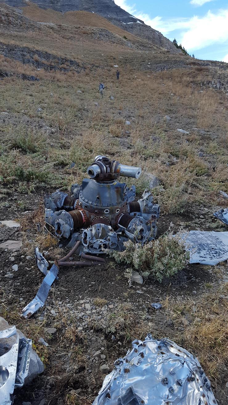
with some climbing. The rest of the parts we found two tiers higher than where
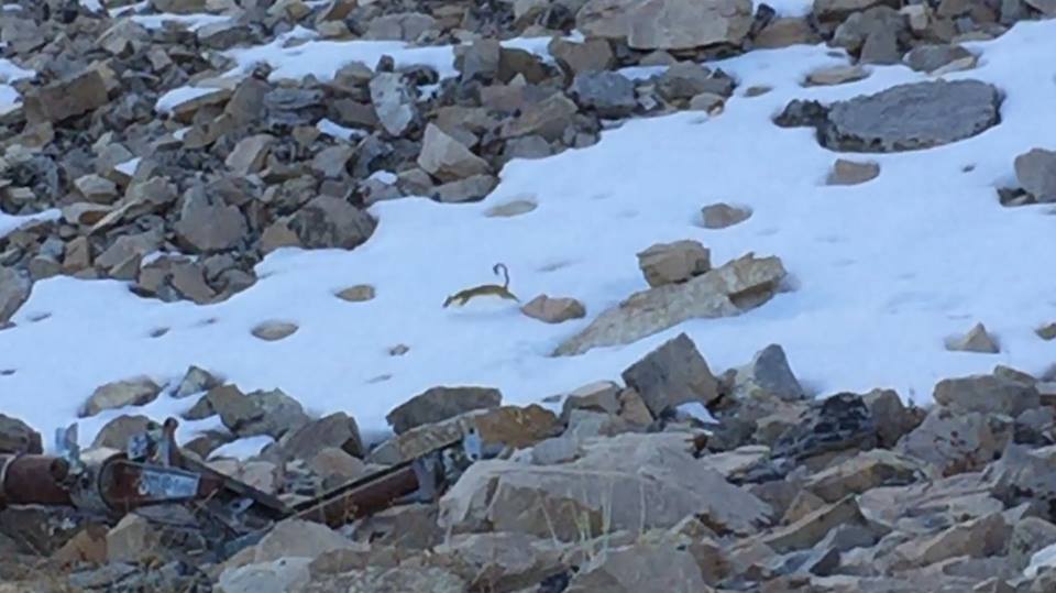
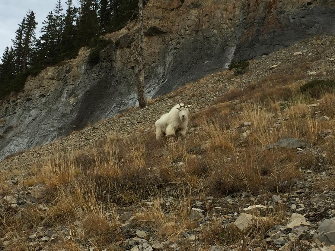
I was. While at the site, we saw a weasle, and got a couple of pictures K2,K3
and a video (Thanks Richard, pictures B4).
At 4:00 pm we finally finished photos and headed down - via the "Toilet pass"
trail; making the parking lot about 8:00 pm, in the dark.
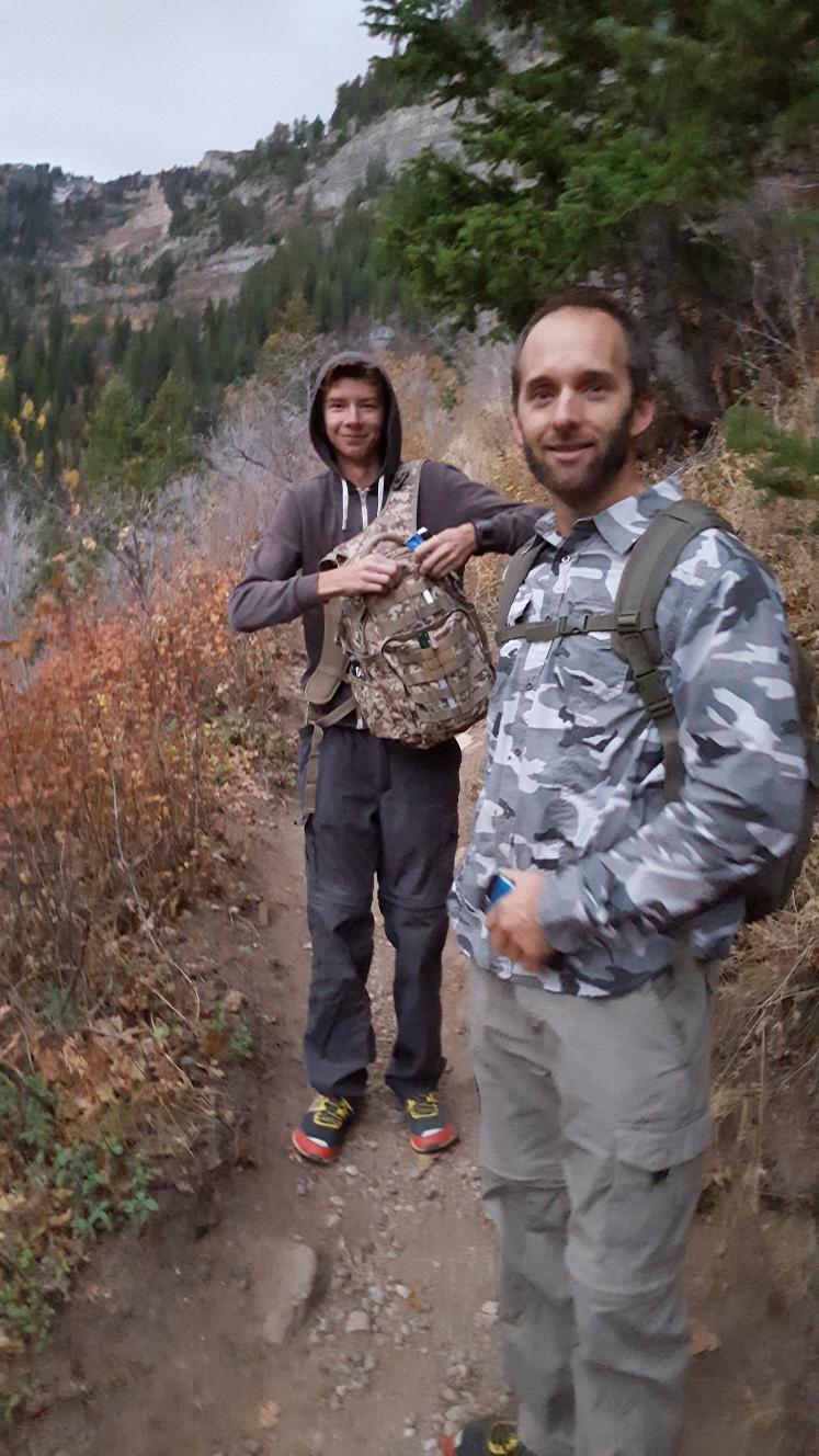
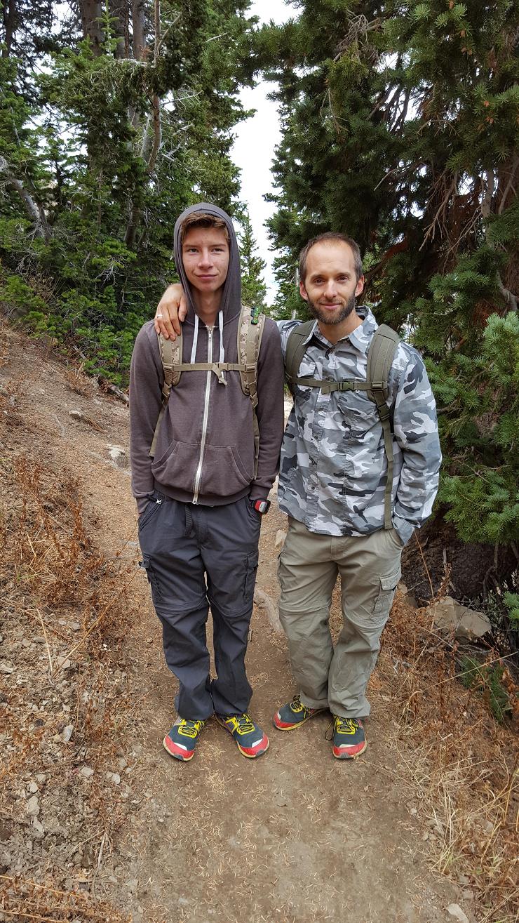
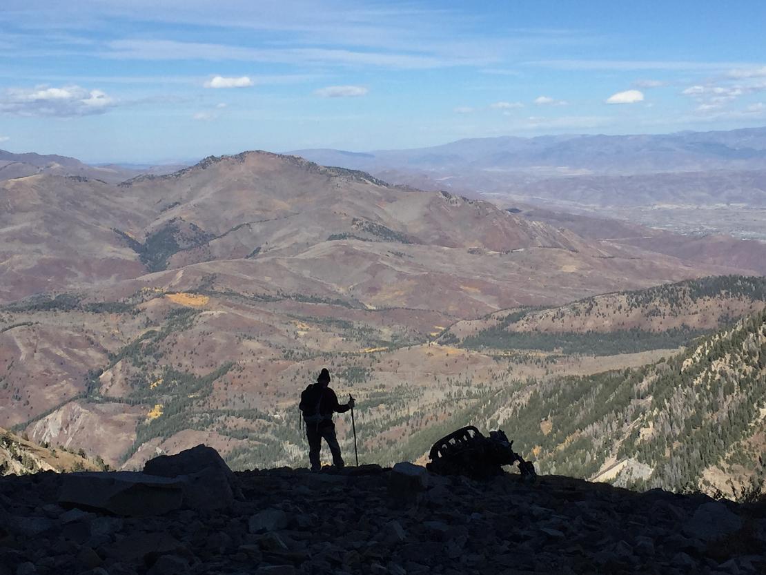
I felt somewhat like Indiana Jones, one of my heros. We were on an adventure to
find a treasure, and had three generations of people. Myself, Richard about the
same age as my son, and Jaren, Richard's son.
Hiking notes
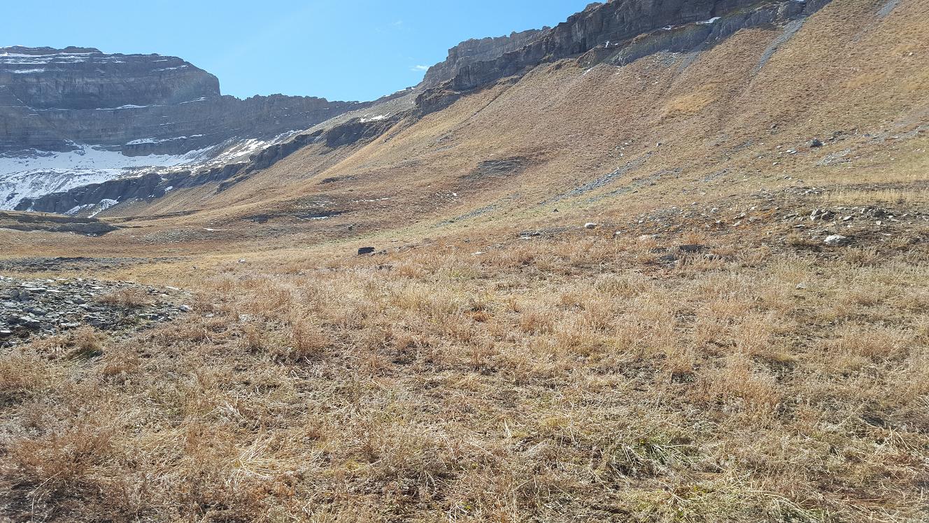
I didn't go past point [C] this trip, so it's only a guess, that
from point [D], you should be on the correct, upper tier and going North around
the bend of the mountain you should come apon the crash site, having a trail to
take you most of the way - instead of attempting cross-country, steep climbing,
trail-less unknown paths. Note that the site is near the end of the North tier,
so keep going.
Knowing where to go, I suggest to plan an extra hour or two for the crash site
detour, and more time for your picture taking.
October may not be the best time to climb, but it is still before the snow
comes. I'll be checking on the snow levels next June (2017). I have others that
want to hike Timp - and drag me along.
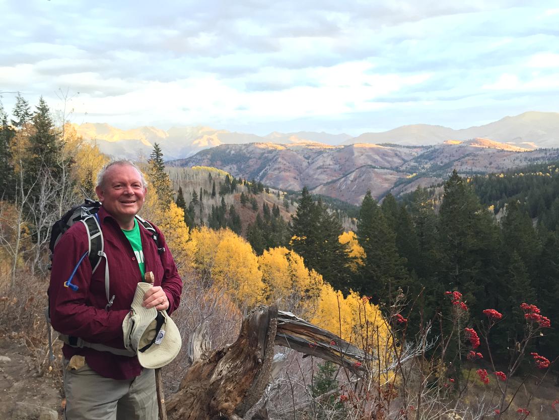
Keven Miller
(Last picture of Richard making sure we were honest, since a Timp hike usually
starts before and ends after the booth is occupied)